Ordnance Survey
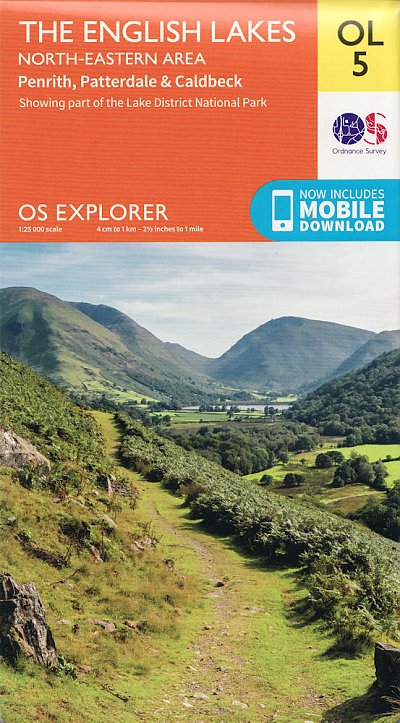
OS Explorer: The English Lakes - North Eastern area
OS Explorer: The English Lakes - North Eastern area
Couldn't load pickup availability
OS Explorer is the Ordnance Survey's most detailed map and is recommended for anyone enjoying outdoor activities like walking, horse riding and off-road cycling. The OS Explorer range now includes a digital version of the paper map, accessed through the OS smartphone app, OS Maps. Providing complete GB coverage the series details essential information such as youth hostels, pubs and visitor information as well as rights of way, permissive paths and bridleways.
Features
Features
• All our Explorer maps come with a free mobile download, making for a convenient companion
• Explorer 1:25,000 Scale: Every 4cm on the map is 1km, making our leisure selection the most detailed maps; perfect for activities such as walking, running, and cycling
• Topographic mapping: Highly detailed contour mapping highlighting variations in terrain and everything you would expect from a map
• Explore local landmarks: Discover camping sites, picnic spots, tourist information, car parks, historical sites, pubs, & much more
• Format: Folded map
Specifications
Specifications
• Page Size: 137 x 240mm
• Published: June 2015
Share


