Ordnance Survey
OS Explorer: Snowdon/Yr Wyddfa
OS Explorer: Snowdon/Yr Wyddfa
Couldn't load pickup availability
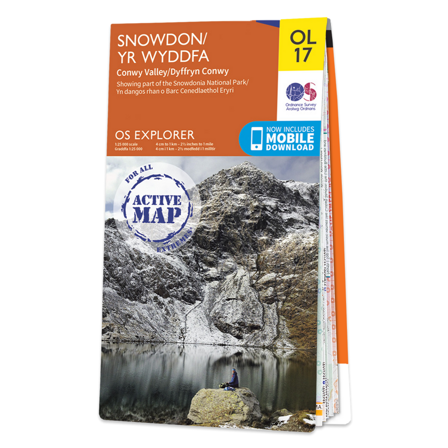
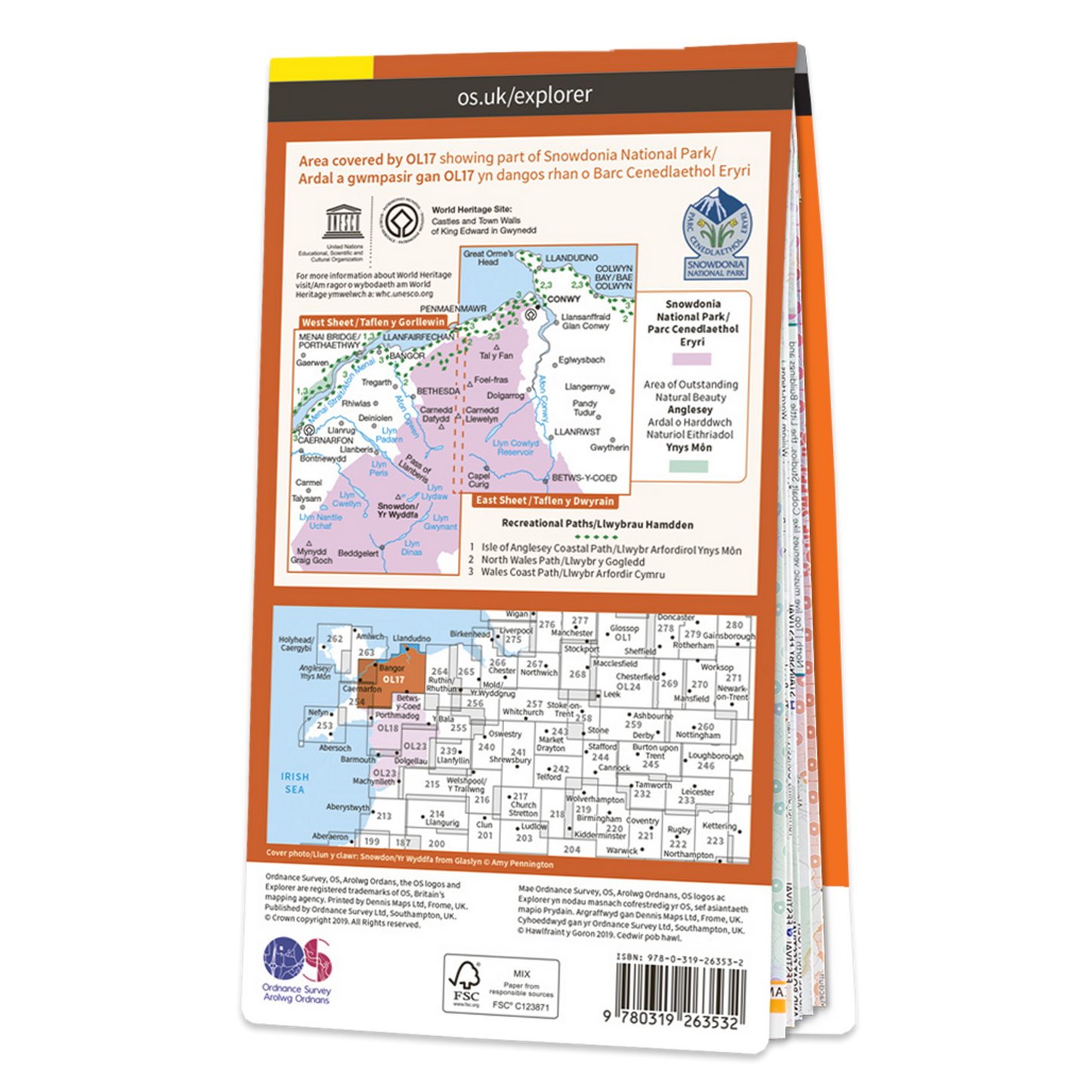
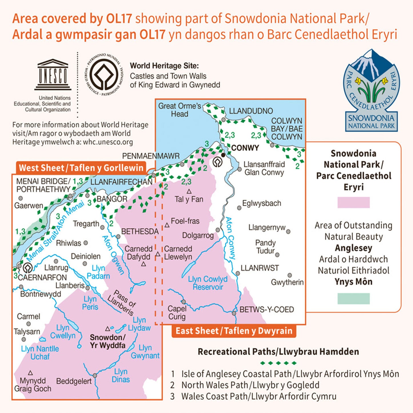
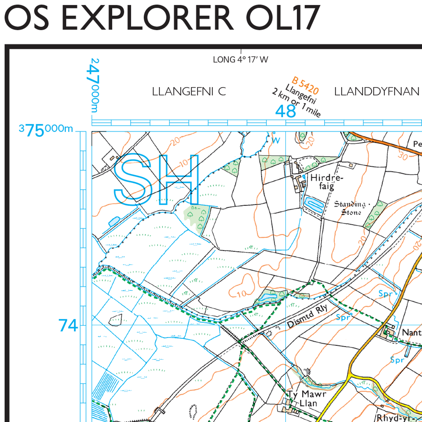
Explore Snowdon with ease and marvel at the beautiful sceneries of Northern Snowdonia. Our OS explorer range is in 1:25 000 scale, meaning 4cm is 1km (2½ inches is 1 mile). This map covers Northern Snowdonia in both English & Welsh. It contains key information so you can immerse yourself among the beautiful valleys and discover the majestic mountainside. It has six routes to the summit, providing lots of options to explore the largest mountain in Wales.
Features
Features
• All our Explorer maps come with a free mobile download, making for a convenient companion.
• Explorer 1:25,000 Scale:
Every 4cm on the map is 1km, making our leisure selection the most detailed maps; perfect for activities such as walking, running, and cycling
• Topographic mapping:
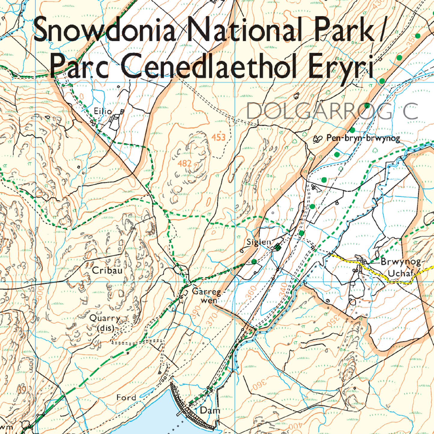
Highly detailed contour mapping highlighting variations in terrain and everything you would expect from a map
• Explore local landmarks:
Discover camping sites, picnic spots, tourist information, car parks, historical sites, pubs, & much more
• Format: Folded map
Specifications
Specifications
• Physical Size: 1000 x 890 mm (134 x 227 mm folded)
• Publication Date: 25/02/2019
Share

