Ordnance Survey
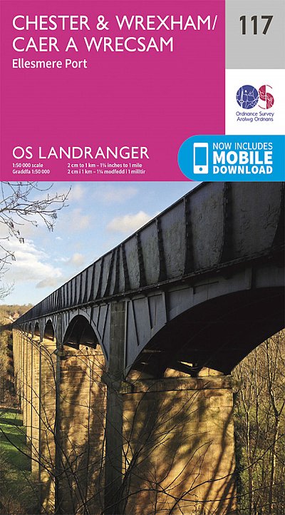
OS Landranger: Chester & Wrexham, Ellesmere Port
OS Landranger: Chester & Wrexham, Ellesmere Port
受取状況を読み込めませんでした
The OS Landranger Active Map series covers Great Britain with 204 detailed maps, perfect for day trips and short breaks. Tough, durable and weatherproof, covered in a lightweight protective plastic coating that can be written on, so that your favourite routes can be easily highlighted. Each map provides all the information you need to get to know your local area and includes places of interest, tourist information, picnic areas and camp sites, plus Rights of Way information for England and Wales. OS Landranger Active now includes a digital version of the paper map, accessed through the OS smartphone app, OS Maps.
1:50,000 Scale
特徴
特徴
• Free digital download: Receive a free download with purchase of this map. Find out more at Mobile Download FAQ
• Landranger 1:50 000 scale: Every 2cm is 1km, which means less detail but more area covered, while still including key elements such as footpaths, rights of way, and tourist information
• Topographic mapping: Highly detailed contour mapping highlighting variations in terrain and everything you would expect from a map
仕様
仕様
• Page Size: 134 x 227mm
• Published Date: February 2016
共有


