1
/
of
1
Northern Eye Books
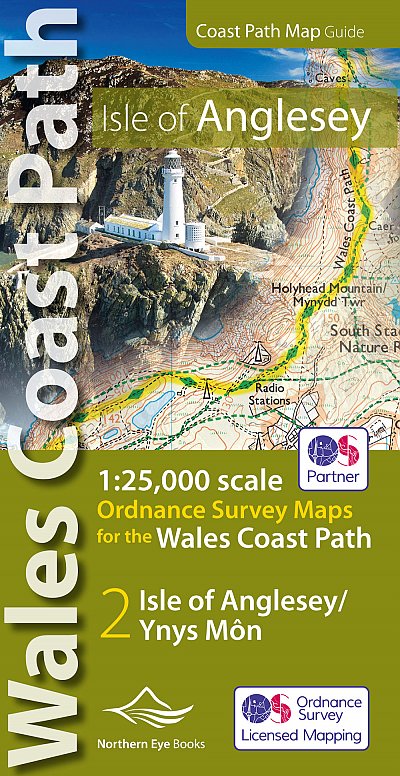
OS North Wales Coast Path Map - Isle of Anglesey
OS North Wales Coast Path Map - Isle of Anglesey
Regular price
£9.99
Regular price
£9.99
Sale price
£9.99
Unit price
/
per
Tax included.
Shipping calculated at checkout.
Couldn't load pickup availability
Enhanced, large scale (1: 25,000) Ordnance Survey mapping in a handy atlas format with all the mapping you need to walk a complete circuit of the Anglesey section of the Wales Coast Path. Continuous OS mapping covering the complete circuit from Menai Bridge. Contains coastal extracts from large scale Explorer maps 262 and 263.
- Large scale Ordnance Survey mapping for the complete circuit of the Isle of Anglesey in a handy atlas format.
- Highlighted official route of the Wales Coast Path/ Anglesey Coastal Path.
- On-map symbols showing amenities at main towns and villages.
- Introduction with attractive photo mosaic.
- Additional useful information
Features
Features
• Author: Northern Eye
• ISBN 10: 1908632593
• ISBN 13: 9781908632593
• Publisher: Northern Eye Books
• Published Date: November 2019
• Edition: 1st, November 2019
• Binding: Paperback
• Illustrations: Full colour maps
Specifications
Specifications
• No of Pages: 48
• Page Size: 107 x 215mm
• Weight: 86g
Share