Northern Eye Books
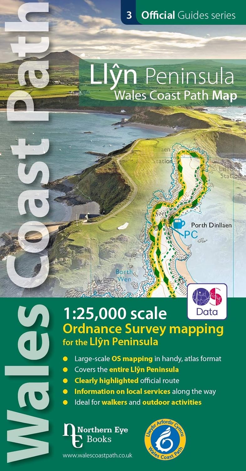
OS North Wales Coast Path Map - Llyn Peninsula
OS North Wales Coast Path Map - Llyn Peninsula
Couldn't load pickup availability
Enjoy enhanced, large scale (1:25,000) Ordnance Survey Explorer mapping in compact atlas format with all the detailed mapping you need to walk the Isle of Anglesey/Ynys Mon section of the Wales Coast Path.
Continuous, full colour OS mapping covering the Wales Coast Path between Bangor and Menai Bridge. Contains extracts from large scale Explorer maps 253 and 254. The enhanced OS 1:25,000 maps are accurate, up-to-date and reliable. Additional map symbols show tea shops, cafes, extra parking, and public toilets.
A brief introduction to Anglesey/Ynys Mon includes a fascinating photo mosaic highlighting notable views, places of interest and wildlife you’ll meet along the way. There is also a section of detailed Useful Information at the back of the atlas. Laminated flapped covers showing Wales Coast Path signs and way-markers, route details and map symbols make these atlases simple and easy to use. The map books’ dimensions are 215mm x 107mm and they fit easily into a standard map pocket.
Features
Features
• Author: Northern Eye
• ISBN 13: 9781908632609
• Publisher: Northern Eye Books
• Published Date: April 2020
• Edition: 1st
• Binding: Paperback (flapped)
• Illustrations: col photos and maps
Specifications
Specifications
• Scale: 1:25000
• No of Pages: 48
• Page Size: 107 x 215mm
• Weight: 106g
Share