1
/
of
1
Northern Eye Books
OS North Wales Coast Path Map - North Wales Coast
OS North Wales Coast Path Map - North Wales Coast
Regular price
£9.99
Regular price
£9.99
Sale price
£9.99
Unit price
/
per
Tax included.
Shipping calculated at checkout.
Couldn't load pickup availability
One of seven handy, lightweight, pocket sized map books covering the whole of the 870 mile/1400 kilometre Wales Coast Path.
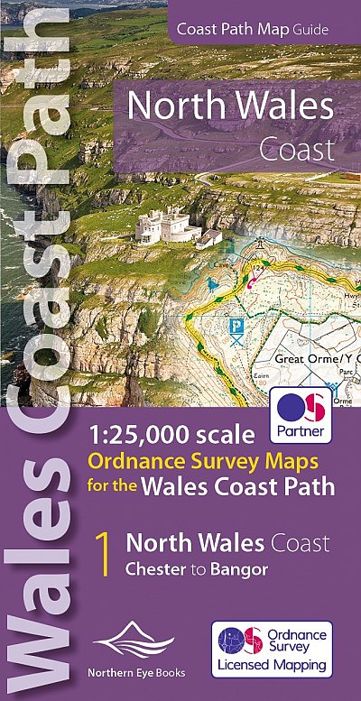
This volume covers North Wales from Chester to Bangor and includes enhanced large scale (1:25,000) Ordnance Survey mapping in a handy atlas format, with extracts from large scale Explorer maps 266, 265, 264 and OL17.
The official route of the Wales Coast Path is highlighted and on-map symbols show amenities at main towns and villages. There is an introduction and additional useful information.
Features
Features
• Author: Northern Eye
• ISBN 10: 1908632585
• ISBN 13: 9781908632586
• Publisher: Northern Eye Books
• Published Date: March 2022
• Edition: March 2022
• Binding: Paperback (flapped)
• Illustrations: Full colour throughout
Specifications
Specifications
• No of Pages: 44
• Page Size: 107 x 215mm
• Weight: 82g
Share