Ordnance Survey
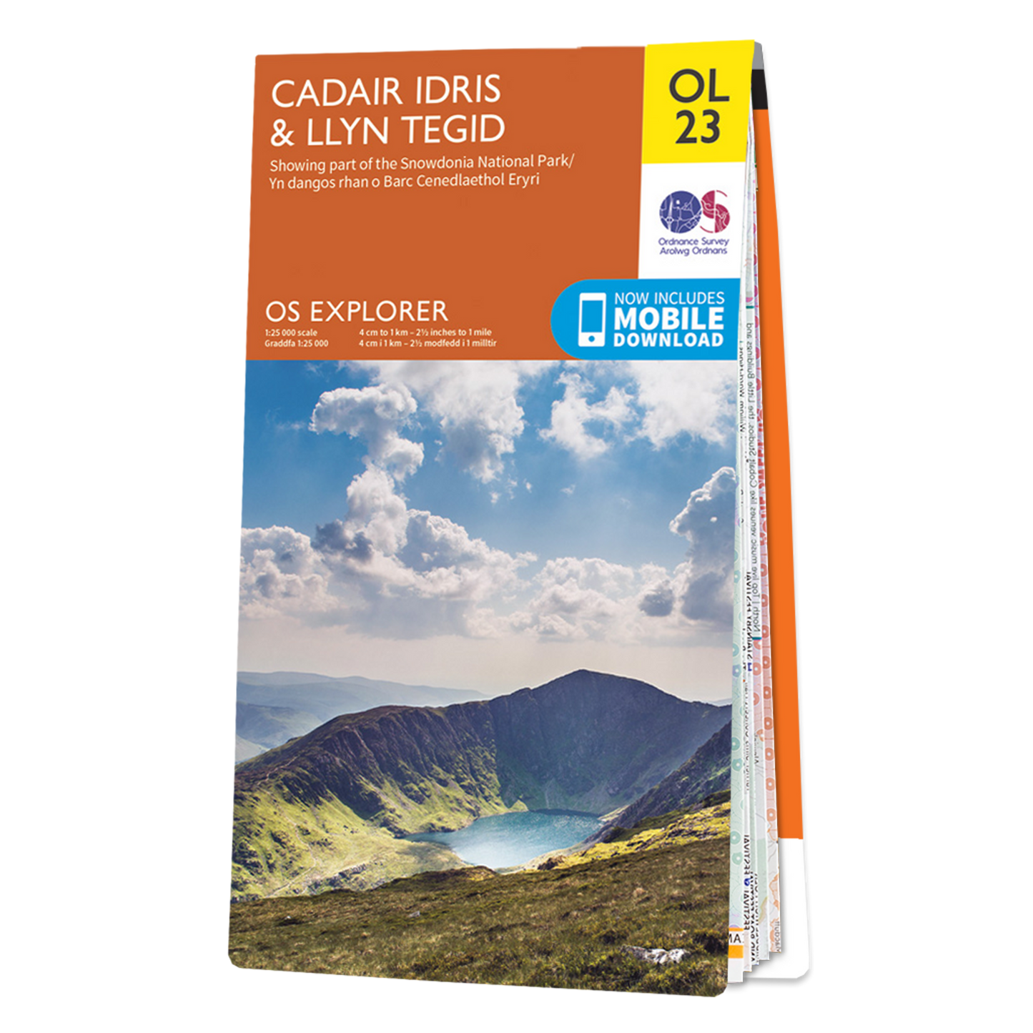
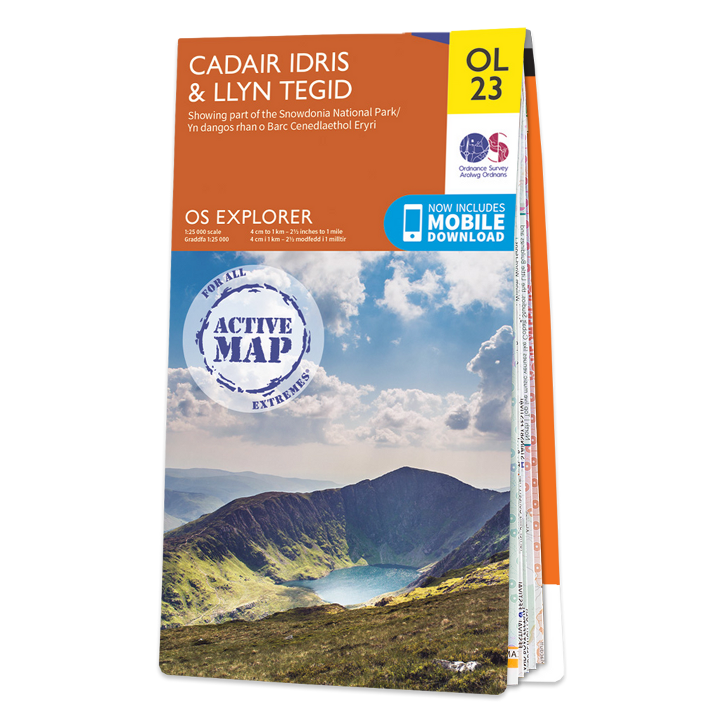
OS Explorer: Cadair Idris & Llyn Tegid
OS Explorer: Cadair Idris & Llyn Tegid
Couldn't load pickup availability
The OS Explorer map of Cadair Idris & Llyn Tegid (Bala Lake) is a must-have for your next trip to the this area of Snowdonia National Park.
The mountain range of Cadair Idris is popular with hikers and people looking for challenging terrain to explore. Llyn Tegid is a stunning body of water, a lake with deep waters that run clear.
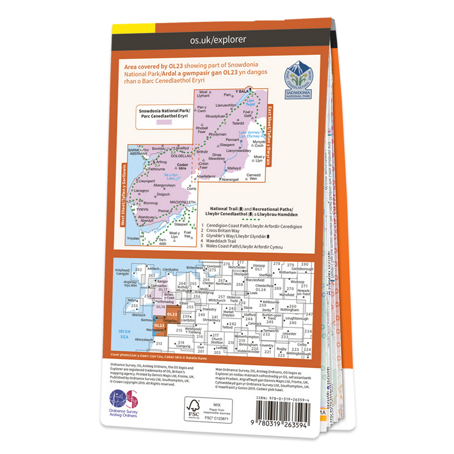
Other highlights of this map include: Minfford Path, Talyllyn lake, Llyn Tegid, Dol Idres, and 8000 year old oak woods.
Our Explorer maps come in both standard and weather proof, so you'll never get caught out in a storm. This map also comes with a free digital download, so you can access it across your devices, making for a convenient companion.
Features
Features
• All our Explorer maps come with a free mobile download, making for a convenient companion.
• Explorer 1:25,000 Scale:
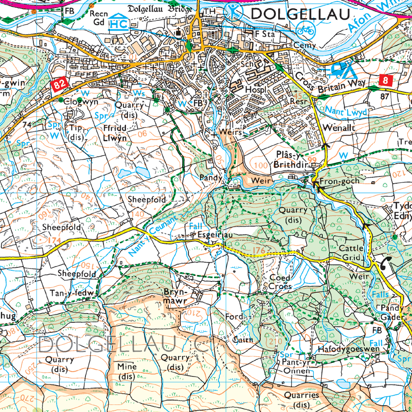
• Every 4cm on the map is 1km, making our leisure selection the most detailed maps; perfect for activities such as walking, running, and cycling
• Topographic mapping:
Highly detailed contour mapping highlighting variations in terrain and everything you would expect from a map
• Explore local landmarks:
Discover camping sites, picnic spots, tourist information, car parks, historical sites, pubs, & much more
• Format: Folded map
Specifications
Specifications
• Publication Date: 25/02/2019
• Physical Size: 1000 x 890mm (134 x 227mm folded)
Share